Connecting People to their Watershed
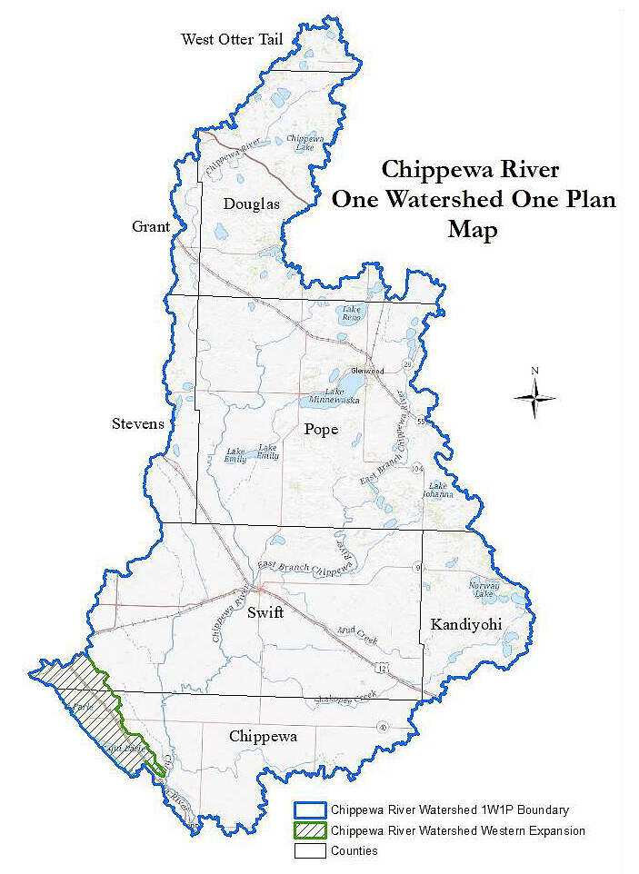
Located in West Central Minnesota, the Chippewa River Watershed covers more than 1.3 million acres in the Western Corn Belt Plains, Northern Glaciated Plains, and North Central Harwood Forests ecoregions and drains portions of nine counties including Otter Tail, Douglas, Grant, Stevens, Pope, Meeker, Swift, Kandiyohi, and Chippewa. The Chippewa River Watershed Association was reorganized and the Joint Powers Agreement between the SWCDs and the Counties was effective in 2020. This group will be implementing the Comprehensive Watershed Management Plan which will guide implementation efforts that will improve and protect our natural resources in this watershed.

